Introduction
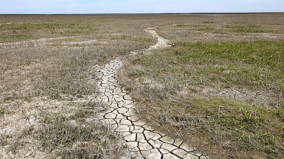
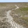
A drought is defined as "a period of abnormally dry weather sufficiently prolonged for the lack of water to cause serious hydrologic imbalance in the affected area."[1]
Droughts affect human and natural resources, endangering food and energy security. They are natural events, but when applied to civilisations, can have detrimental effects. IPCC in its 2022 report notes that flood and drought-related acute food insecurity and malnutrition have increased in Africa and Central and South America. Between 2010–2020, human mortality from floods, droughts and storms was 15 times higher in highly vulnerable regions. Risks to health and food production will become more severe from the interaction of sudden food production losses from heat and drought worsened by heat-induced labour productivity losses.[2]
As with most environment-related issues, good and current data is necessary to take the best possible decision. An effective drought strategy must focus on mitigating socioeconomic vulnerabilities. One such examples can be found in the Northeast region of Brazil. From July 2014 to June 2019, over 75% of the region area experienced drought for at least 1 month.
Brazil has developed the Drought Monitor, a decentralised system that monitors the drought situation. Its data are disseminated through the Drought Monitor Map each month covering short- and long-term indicators. Brazil’s Drought Monitor was based on the United States Drought Monitor, where the results of continuous monitoring are communicated through maps. It was designed in 2013 supported by World Bank in conjunction with the Ministry of National Integration and regional governments.
Since 2017, Brazil´s National Water Agency has anchored the Monitor. This has helped expand it to 18 or the 26 other Brazilian states. The Monitor fills data gaps in some areas and represents local reality as it sources information from local sources such as state institutions of weather and climate, of water resources, of agricultural extension services, of sanitation and Civil Defence. Its network of partner institutions requires frequent engagement, continuity of action and resources, and training for those involved in production, validation and use of the data.
The severe drought in the north-eastern region provided the impetus for setting up the to increase maps validation by local actors. Now it provides regular and periodic monitoring of the droughts, the consolidated results of which are disseminated through the Drought Monitor Map. In addition to temporal information, the maps provide information on the severity: weak, moderate, severe, extreme and exceptional.
This steady flow of information has helped improved preparedness. The data allows a correlation between drought evolution and its effects on infrastructure and services. It lets authorities take up measures to mitigate the impacts on infrastructure, production models, system redundancy, and alternative sources of water.
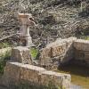
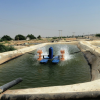
For example, the Federal Government ran Operation “Carro-Pipa” (water truck) to provide water for human consumption to drought-stricken areas. It served the rural population and cost around R$ 1 billion per year. In 2017, over 6,000 water trucks provided water supply in ten states to 3 million people. The supply was sanctioned after the Civil Defence recognized the state of emergency caused by drought using the Drought Monitor maps. It reduced the time and bureaucracy involved. Better information leads to better decisions.
There were several challenges in setting up the system. The participation by state institutions in the Drought Monitor is voluntary. Therefore, it required dedication and time from the staff that caused some problems of continuity. There were political reasons, as when the party in power changed. To overcome this, constant renegotiation was needed along with continuous training of the staff to keep them motivated. A group of managers was set up to convene meetings for decisions and guidelines.
As it has become more, the Monitor has represented reality drawing on the expertise of multiple local institutions. The Monitor has built up its own identity - including a layout - to highlight its collective character and to allow all partners to feel they own the results. It has spelt out what it can, and cannot, do. It is a monitoring and information provider.
In other words, the uniqueness of the Drought Monitor is the collectivisation of data that is locally validated by local institutions. This increases their ownership, making these institutions apply the results, contribute to the evolution and downscaling of products generated, create new applications and convert the Drought Monitor into a tool that is actually used.
The results are also disseminated through the Brazilian media each month providing information to people in general. To reduce the risk of disruptions caused by changes in the political and bureaucratic spheres, the Monitor’s team has promoted formal commitments with the highest authority of partner institutions. Likewise, a Working Group was created with partner institutions managers, which discusses Drought Monitor direction and next steps.
To sum up, local validation and sourcing of information, which could not be sourced without the participation of local institutions, has improved the quality and use of Drought Monitor products. It has been replicated in other states that have little data on drought. However, the institutional composition can changed in keeping with the local conditions from state to state. This flexibility has helped ensure the data meets local needs, and is used. It has helped to sustain the Monitor.
[1] https://www.ametsoc.org/ams/index.cfm/publications/glossary-of-meteorology/
[2] IPCC 2022. Climate Change 2022: Impacts, Adaptation and Vulnerability Summary for Policymakers


Trending Discussions
From around the site...
“Absolutely interested! I'll connect via email to discuss reviewing and enhancing the Economic Analysis of Climate...”
Adaptation-related events at COP28 (all available to follow/stream online)
“Please check out these adaptation-related events taking place at COP28 - all available online (some in person too if...”
Shining a light for biodiversity – four perspectives to the life that sustains us. Four hybrid sessions.
“30 November to 19 December 2023 - Four Sessions Introduction The SDC Cluster Green is happy to invite you to the...”